Join Snake River Fund’s Fight to Protect Teton County Public Lands
A decade’s long effort to transfer BLM lands into Teton County hands is at a precarious tipping point and, now, access to some of our community’s most precious riparian public lands is under threat. BLM Parcel 9/10 is 350+ acres of public lands sitting just North of Emily’s Pond. You may know it best for the nearly 3 linear miles of levee top access. But the parcel is also home to dramatic cottonwood galleries to the east and exceptional river access and angling opportunities to the west.
The adjacent landowner, 4W LLC., is proposing to purchase the 23 northern-most acres of Parcel 9/10 in return for granting Teton County an easement on the southern end of their property which may (or may not) allow for a more functional pathway along Highway 22. Essentially, 4W is trying to force our community to choose between preservation of public land access and a functional pathway. We deserve to have both and our County Commissioners need to hear that from you!
The original public comment period ending on April 28th, 2025 has been extended to June, possibly July, when there will be more concrete information available from both Wyoming Department of Transportation (WYDOT) and (BLM). Please take a second to download the Form Letter below. It can be personalized and emailed to our County Commissioners at commissioners@tetoncountywy.gov. You’ll also see links to download supplemental materials which expand on the recent history of BLM Parcel 9/10 and expand upon the larger land transfer process.
Thank you for your support. Please don’t hesitate to reach out to Orion with questions: orion@snakeriverfund.org; (307)734-6773.
Click Here to Download Form Letter
Click Here to Download Supplemental Materials on Parcel 9/10
Click Here to Download Supplemental Materials on the greater Land Transfer Process


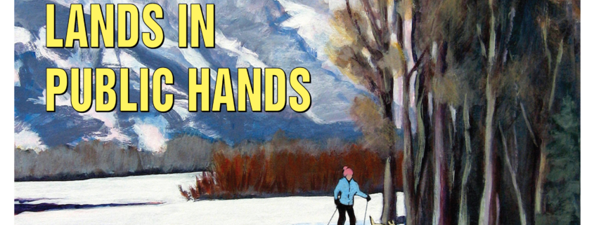
Artwork by: Diane Benefiel


